The Challenges
Looking to expand the quantity, quality, and usability of water quality data in the Greater Yellowstone Ecosystem, systems ecologist Robert Crabtree launched a test site for his RiverNET project in the Upper Yellowstone watershed, one of six watersheds in the greater ecosystem area. Since about one-third of the land there is privately owned, Crabtree recognized that RiverNET’s success would depend on the involvement of the private sector, along with a long-term monitoring system that provides reliable, readily accessible data – which he believes is key to mitigating potential environmental dangers and creating a sustainable ecosystem.
The Solution
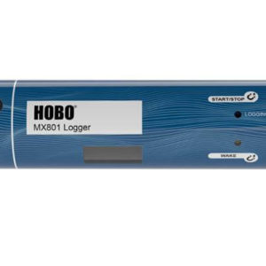
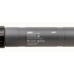
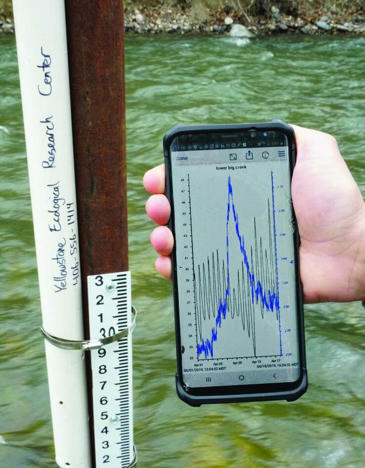
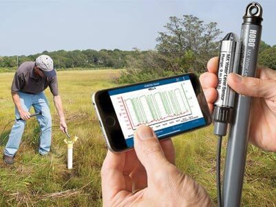
With a major source of funding from the Arthur M. Blank Family Foundation, Crabtree, who serves as the chief scientist and executive director of the nonprofit Yellowstone Ecological Research Center (YERC), selected Onset’s award-winning HOBO MX2001 Water Level Data Logger for the backbone of this network monitoring task. More than two dozen of the rugged Bluetooth-enabled MX2001 loggers have been deployed in and around Mill Creek, the Upper Yellowstone watershed’s largest tributary of the Yellowstone River. There, the loggers are measuring important water quality parameters, including water level and temperature, and enabling Crabtree to create rating curves by converting accurate measures of stream depth to discharge or flow. Data from the loggers can be viewed or downloaded at any time with just a mobile device or Windows laptop running the free HOBOconnect app, when within 100 feet of the logger, and then shared online.
The Results
With the RiverNET monitoring network now in place and providing the ability to detect and predict changes in water temperature, turbidity, quality, and flow in the area’s watershed, scientists can better analyze environmental changes such as droughts, changing land-use patterns, or anything that impacts the health of the river and its flora and fauna. In addition, predictive modeling is helping local ranchers gauge available water and plan its usage for their herds and for growing alfalfa feed, providing them with the potential to increase their profit margins. To develop the most accurate diagnostic and prognostic models, however, more data is needed. Therefore, YERC encourages private landowners to purchase their own data loggers or to contribute financially – either through direct donations or through YERC’s Adopt-a-River program, where benefactors support a specific stretch of river for an annual donation.
YERC is also preparing for a second phase of the RiverNET monitoring project, which will involve collecting data across a larger area and using it to develop a predictive regional model that, among other things, will help create a total water budget. This budget will provide a 36-hour forecast, updated daily, to provide estimates of discharge or quantity, stream temperature, and turbidity.
– Robert Crabtree